Alpe Adria Booking Center Slovenia is the official booking centre for Slovenia and offers a tailor-made offer according to your wishes. It offers accommodation at every stage, mostly in 3-star accommodation.
Alpe Adria Booking Center Slovenia prepares individual offers, based on the hiker’s wishes. The basic offer includes accommodation at the end of every stage, daily luggage transfer and other services, e.g. transfer to the starting point, airport or train station.
For hikers who book a programme via Alpe Adria Booking Center Slovenia, a 10-hour emergency line is available 7 days of the week.
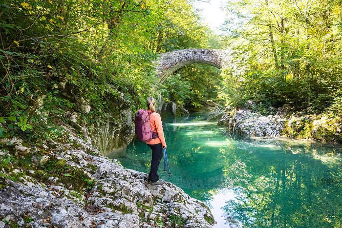
A hiker should have good hiking shoes and hiking clothes, sun protection and optionally hiking poles. Apart from the basic equipment in your hiking backpack, including clothes for different weather conditions and first aid kit, you should also carry enough water and some snacks.
In springtime the use of tick repellents is recommended.
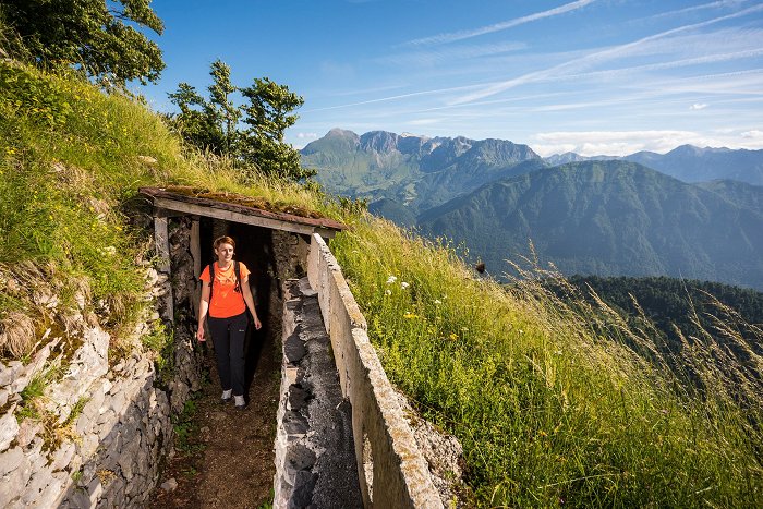
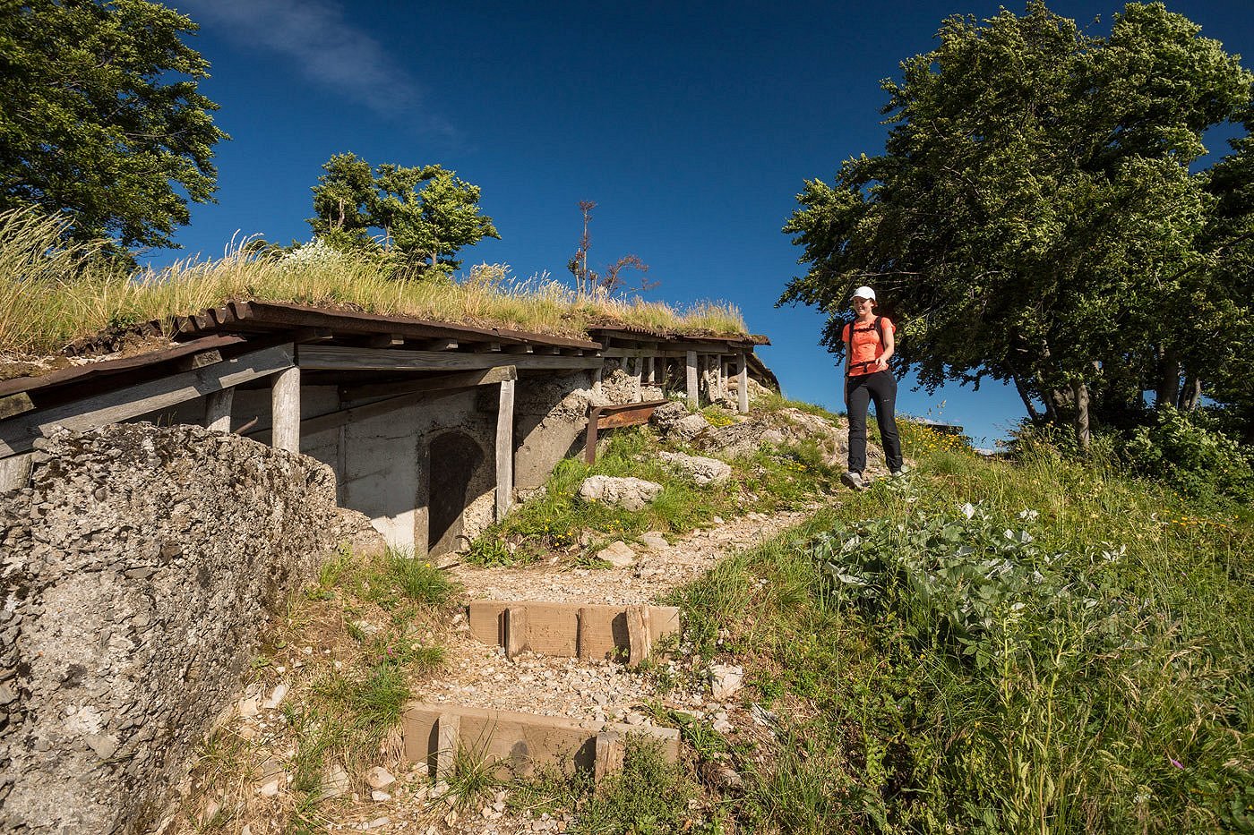
Climbing gear is not needed for this trail.
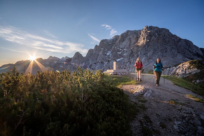
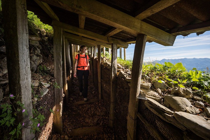
Alpe Adria Trail is a long-distance hiking trail, so you have to be fit enough to walk 5–6 hours or 15–25 km per day without problem.
Individual stages are not as demanding but walking more stages and more days in a row demands certain physical fitness.
Of course, you can walk the trail together with your loyal four-legged companion. Especially in the summertime, when the temperatures are high, please make sure you have enough water with you.
If you hike with your dog, please remember that it needs to be kept on a leash at all times. When you book accommodation, be careful that it is dog friendly. Some places have a limited number of accommodations that accept pets.
Since food dog can get very heavy to carry, it is a good idea to book the luggage transfer service.
It's possible to walk the trail on your own, the guide is not required.
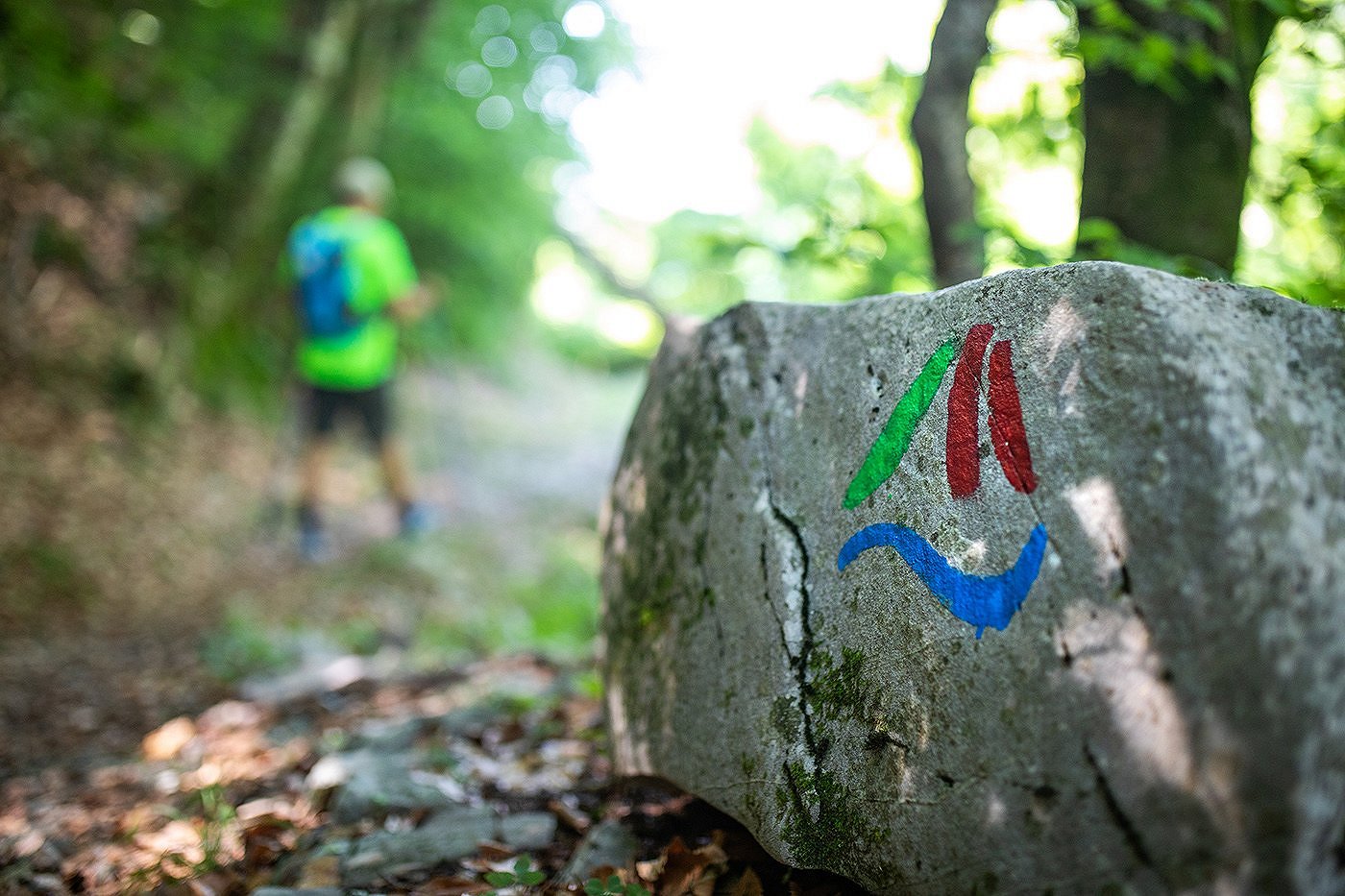
The trail is marked with signposts, and you can use online maps and descriptions for orientation: web page Alpe Adria Trail.
Hikers can find accommodation, food, and refreshment possibilities at the end of every stage. Restaurants and groceries can be found at most of the stage ends, but not necessarily everywhere along the trail. Grocery shops can be found on all stages, except at Drežnica.
Restaurants are mostly located at the ends of the stages, but the work hours may vary according to season (shorter work hours off season).
It’s a good idea to be prepared and have enough water and food (sandwiches or other snacks) with you on the trail. Some simpler restaurants do not accept credit card, so make sure you also have some cash with you.
No, camping in Slovenia is only allowed in campsites. These can be found in some of the places along the trail, but not strictly at the end of every stage. There are a lot of accommodation options to choose from, so you should be able to find a perfect choice for yourself.
The Julian Alps Community strives to improve the public transport services in the area and encourages the visitors to use the regular bus lines, free summer shuttles and trains. Slovenian Railways trains will get you to the starting points in Kranjska Gora and Tolmin. Timetables and information are available on Slovenian Railways website.
For stages between Kranjska Gora and Trenta village you can use the Arriva bus services.
For stages between Trenta and Tolmin you can use the Nomago bus services.
It is recommended that you inform yourself about the public transport possibilities beforehand in one of the tourist information centers, especially out of the main summer season.

