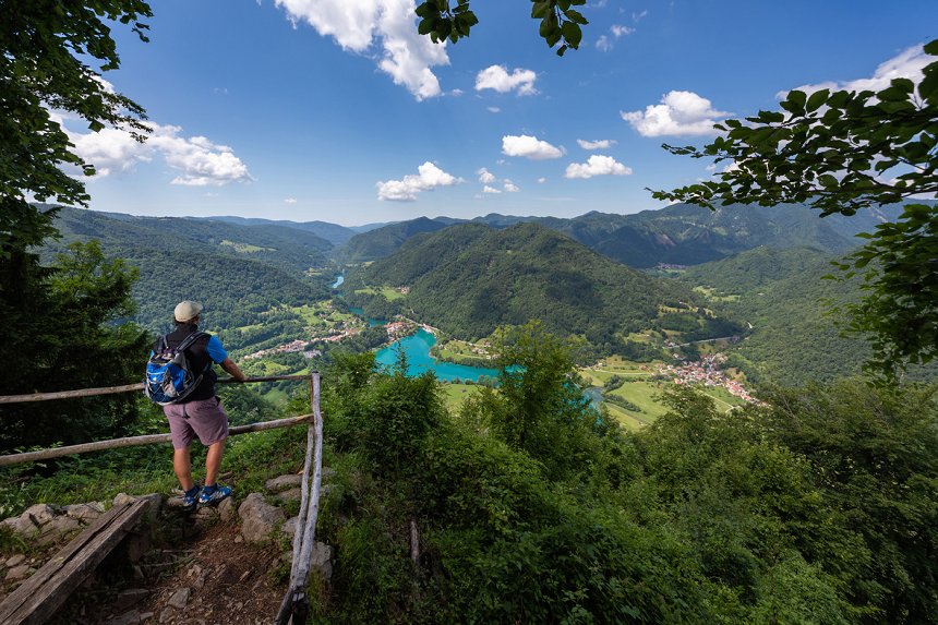
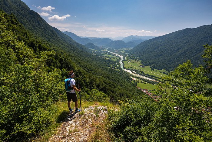
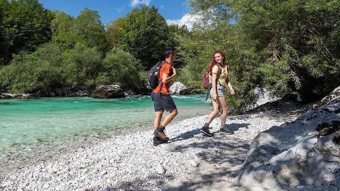
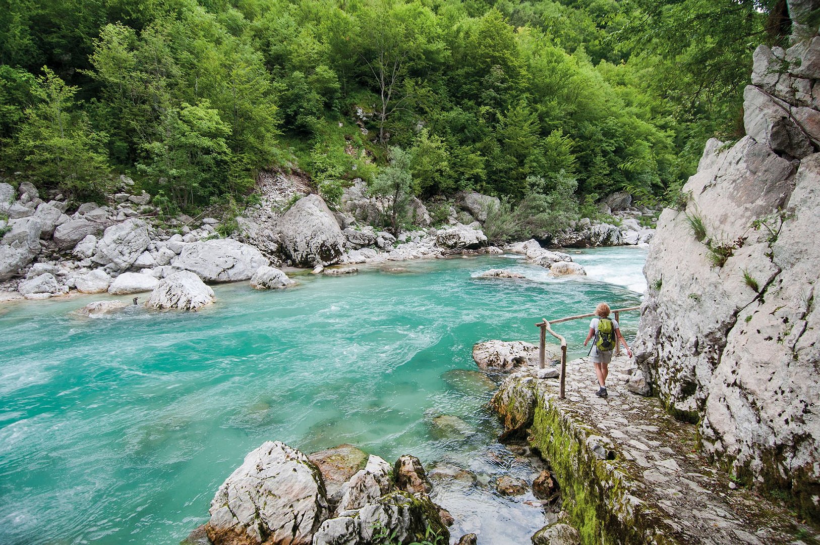
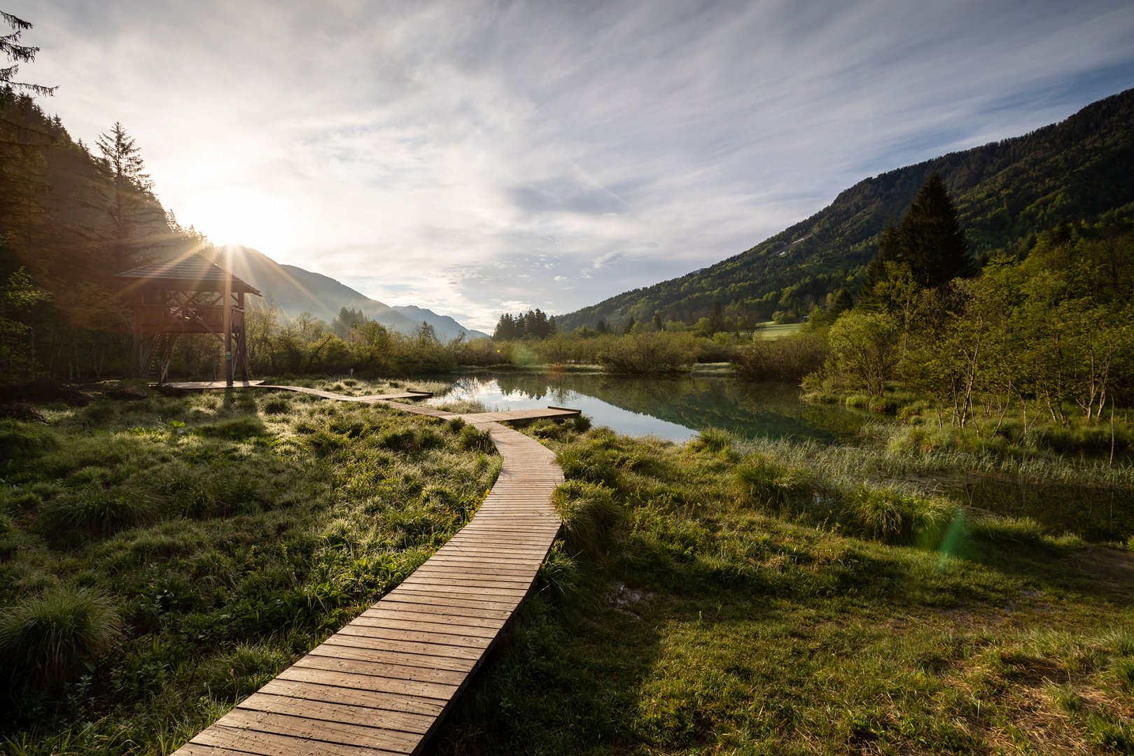
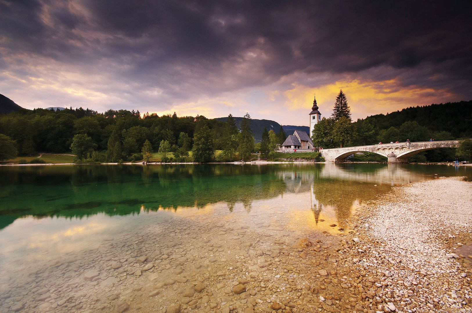
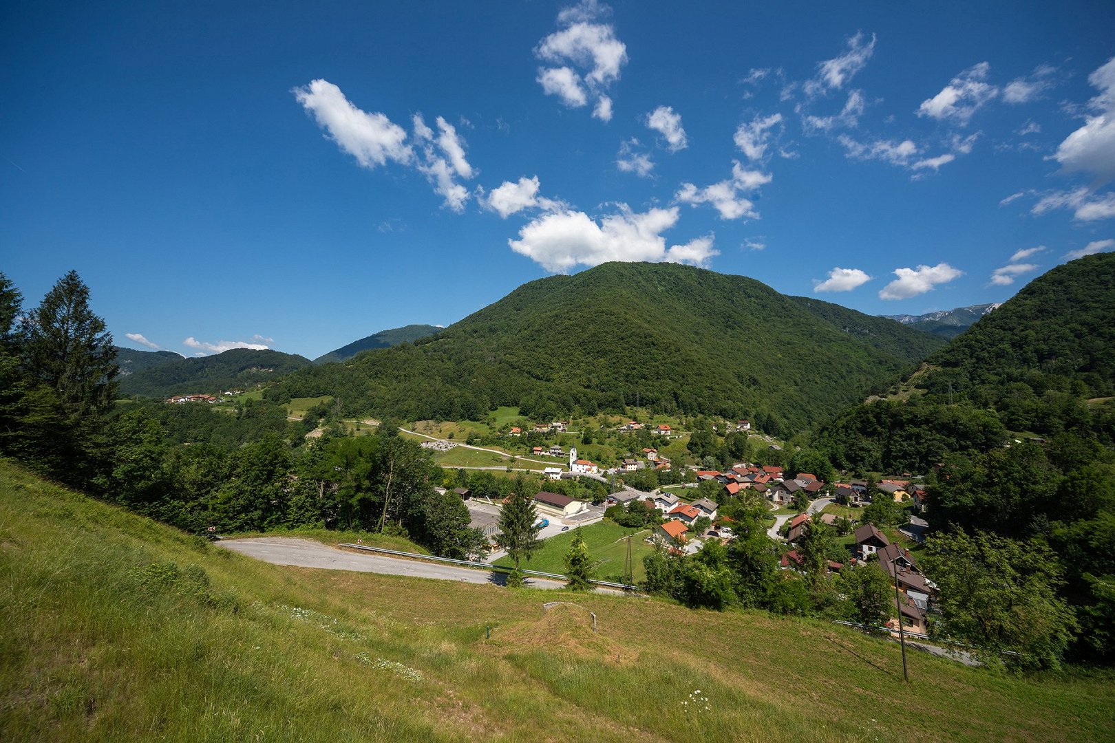
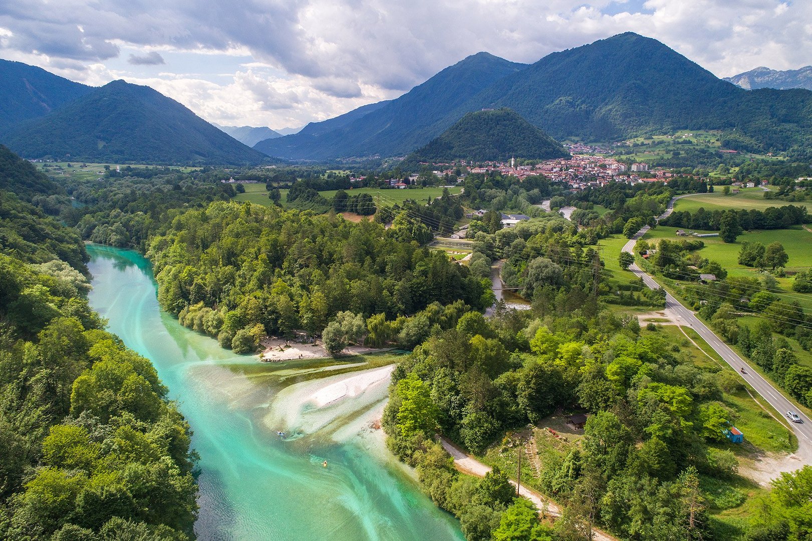
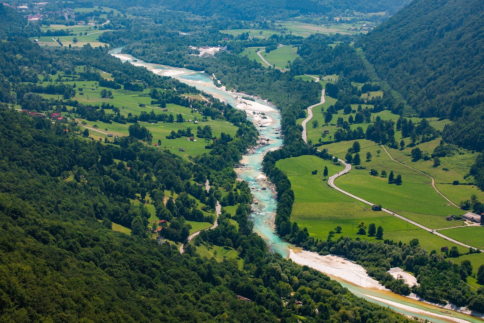
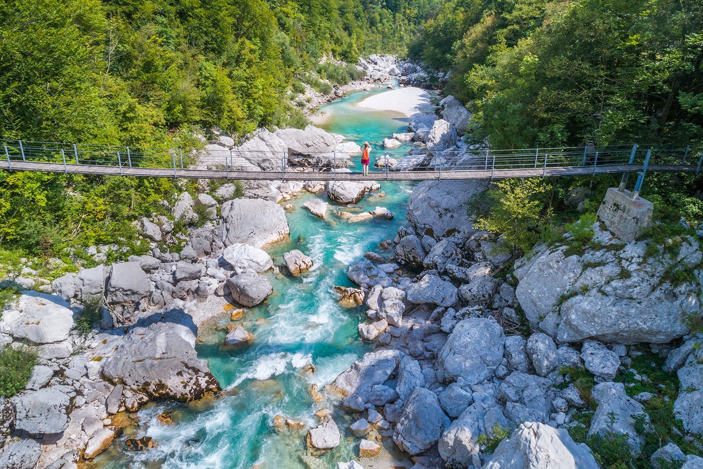
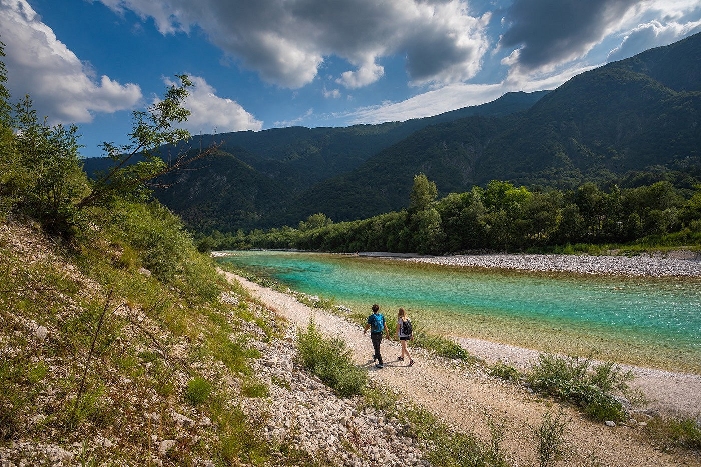
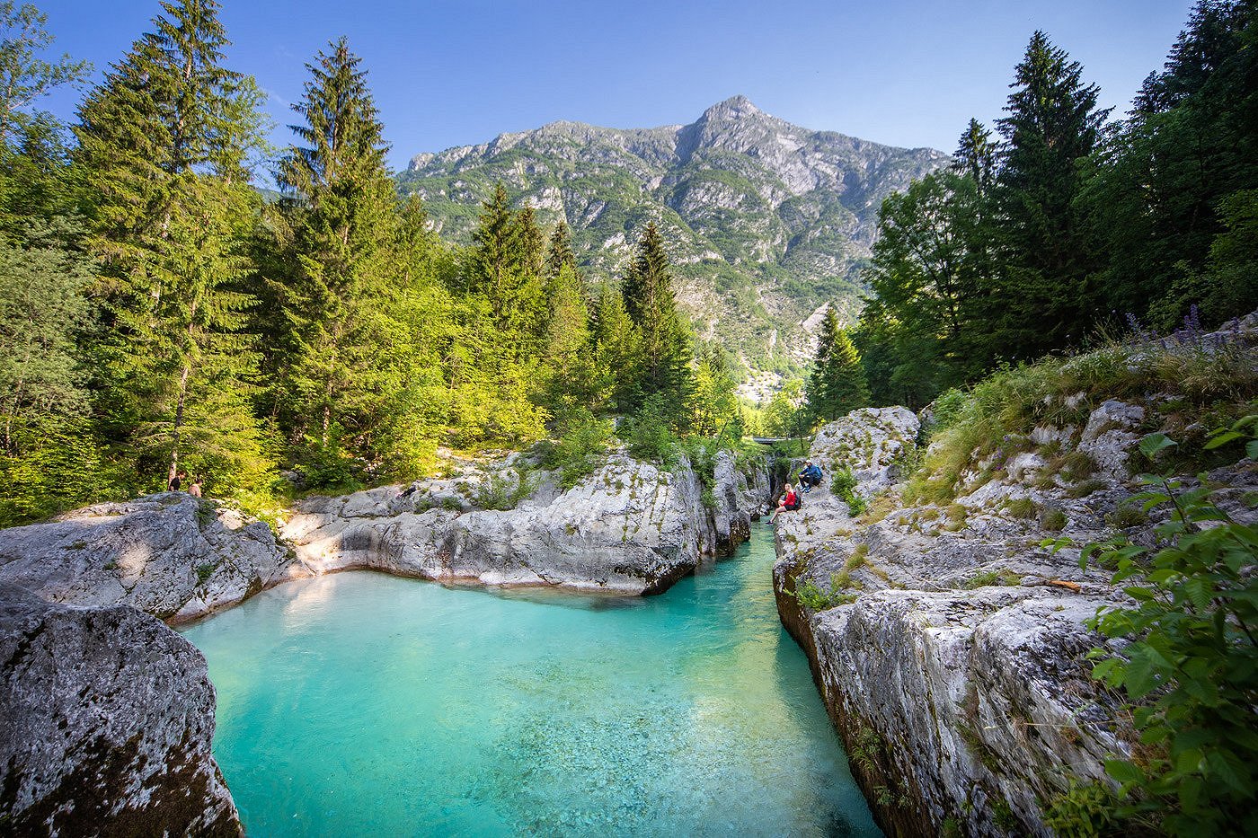
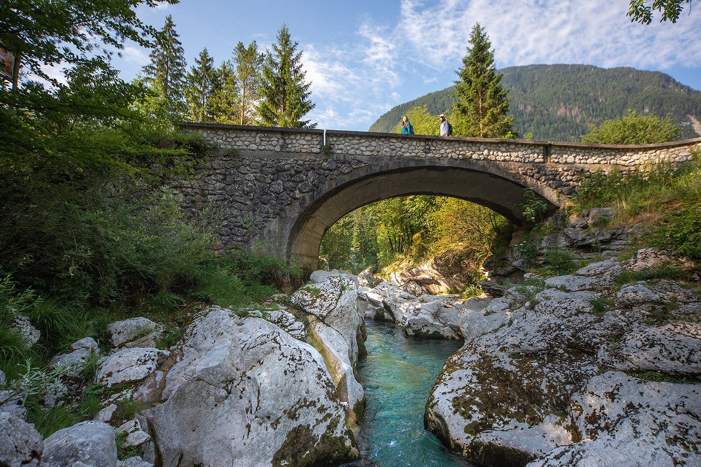
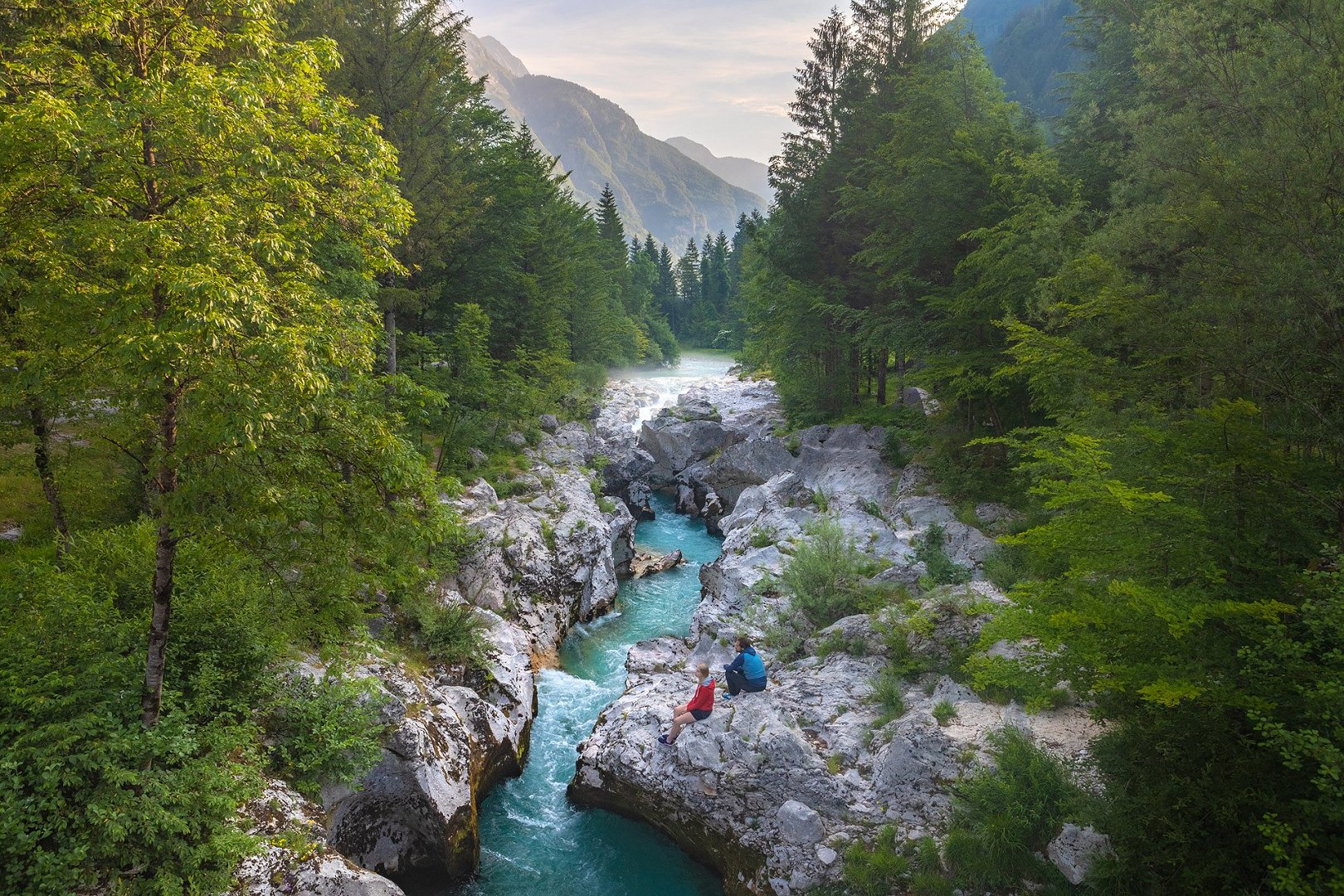
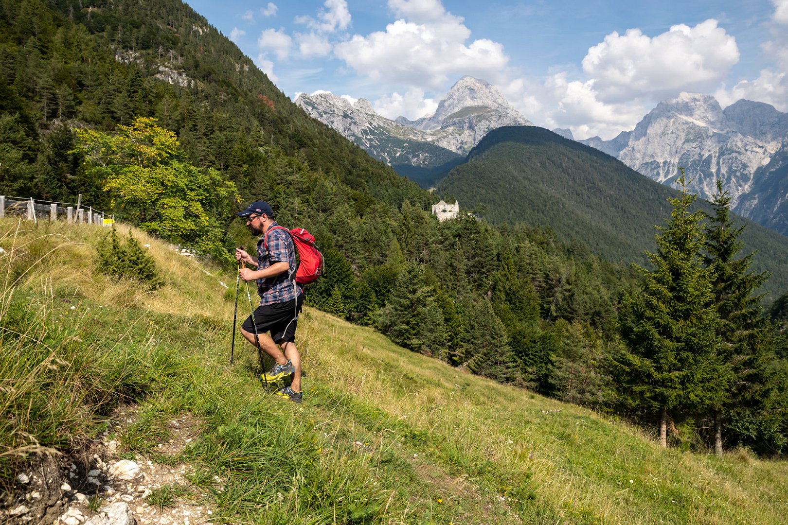
The JULIANA TRAIL is a 270-km-long circular long-distance hiking trail, which takes you around the Julian Alps. It runs in the valleys, over the mountain passes, through the forests, bigger towns and picturesque villages, secluded plains, cultivated land, and along the Sava and Soča rivers. The trail is technically not demanding.
It's possible to walk the trail on your own, the guide is not required. The trail is marked with signposts, and you can use the mobile app, online maps, and descriptions for orientation.
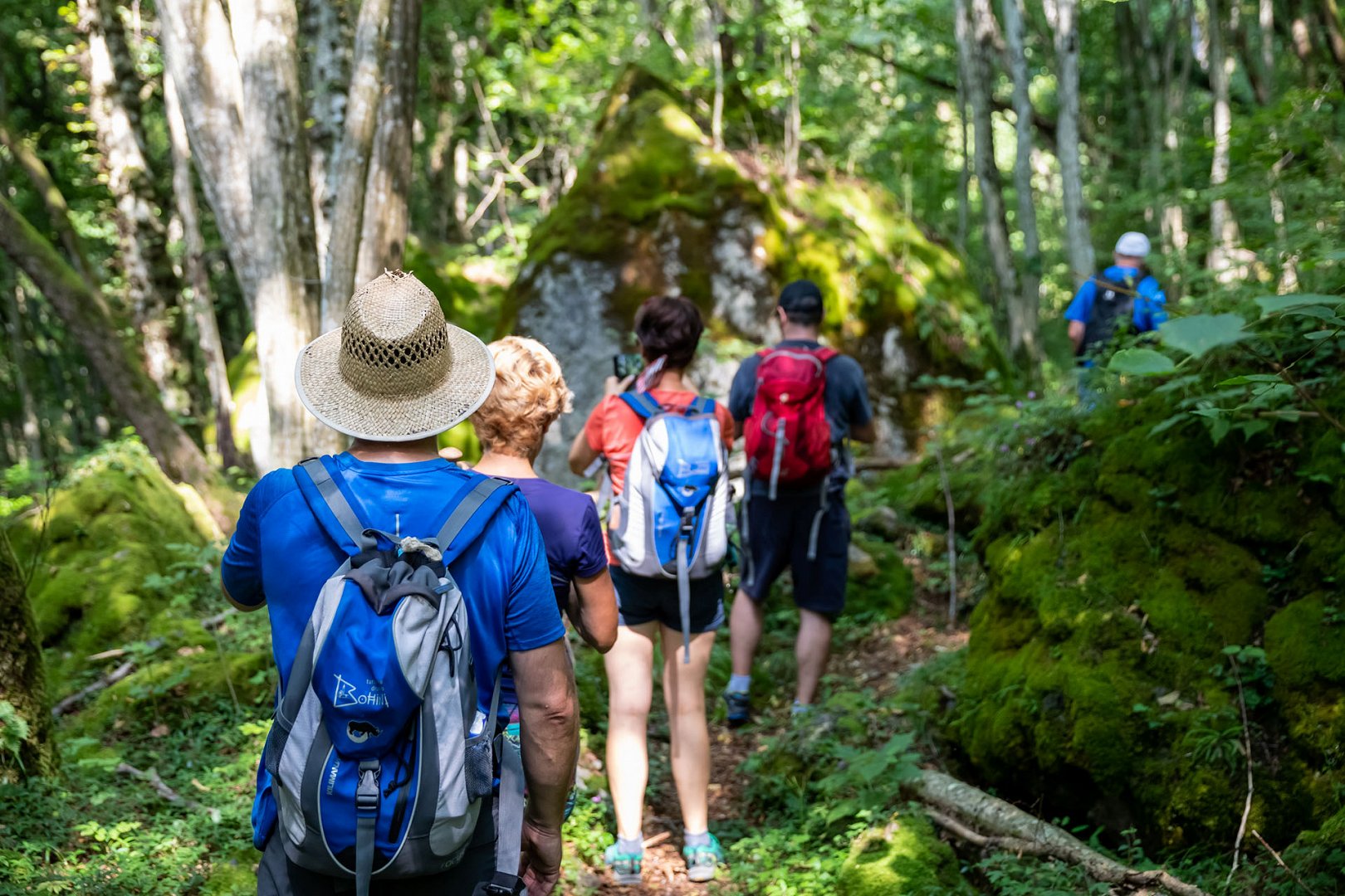
Juliana Trail is a long-distance hiking trail, so you must be fit enough to walk 5–6 hours or 15–25 km daily. Individual stages are not as demanding but walking more stages and more days in a row demands certain physical fitness. Hiking the whole Juliana Trail circle requires good physical fitness. Characteristics of all stages are available on the website, so you can assess the difficulty yourself.
A hiker should have good hiking shoes and hiking clothes, sun protection and optionally hiking poles. Apart from the basic equipment in your hiking backpack, including clothes for different weather conditions and first aid kit, you should also carry enough water and some snacks.
In springtime the use of tick repellents is recommended.
Climbing gear is not needed for this trail.
The difficulty of a stage depends on hiker’s physical fitness, but in general the most difficult stages are the ones with most ascent and length:
- Stage 2: MOJSTRANA-JESENICE is with its 20.5 km one of the longest stages.
- Stage 5: BLED-GORELJEK NA POKLJUKI, with 900 m of ascent in total to Pokljuka Plateau. This stage is also one of the longest, 21 km in length.
- Stage 6: GORELJEK-STARA FUŽINA is with its 21.7 km one of the longest stages.
- Stage 8: BOHINJSKA BISTRICA-PODBRDO, with 752 km of ascent to the top (Vrh Bače), followed by a steep descent to Podbrdo in the valley.
- Stage 9: PODBRDO-GRAHOVO OB BAČI, in total 1,009 m of ascent. The steepest ascent is right at the beginning of the stage, climbing from Podbrdo to Kalarsko Brdo.
- Stage 13: KOBARID-BOVEC is with its 21.3 km one of the longest stages.
- Stage 15: LOG POD MANGARTOM-TARVISIO (ITALY) starts with a steep 500 m ascent to Predel Pass.
All information about the stages is available on the website.
The 1st stage of the main circle officially starts in Kranjska Gora, but your starting point can be anywhere on the trail.
The trail is marked in both directions, so you can choose in which direction you want to walk. Most of the hikers decide to follow the clockwise numbering of stages.
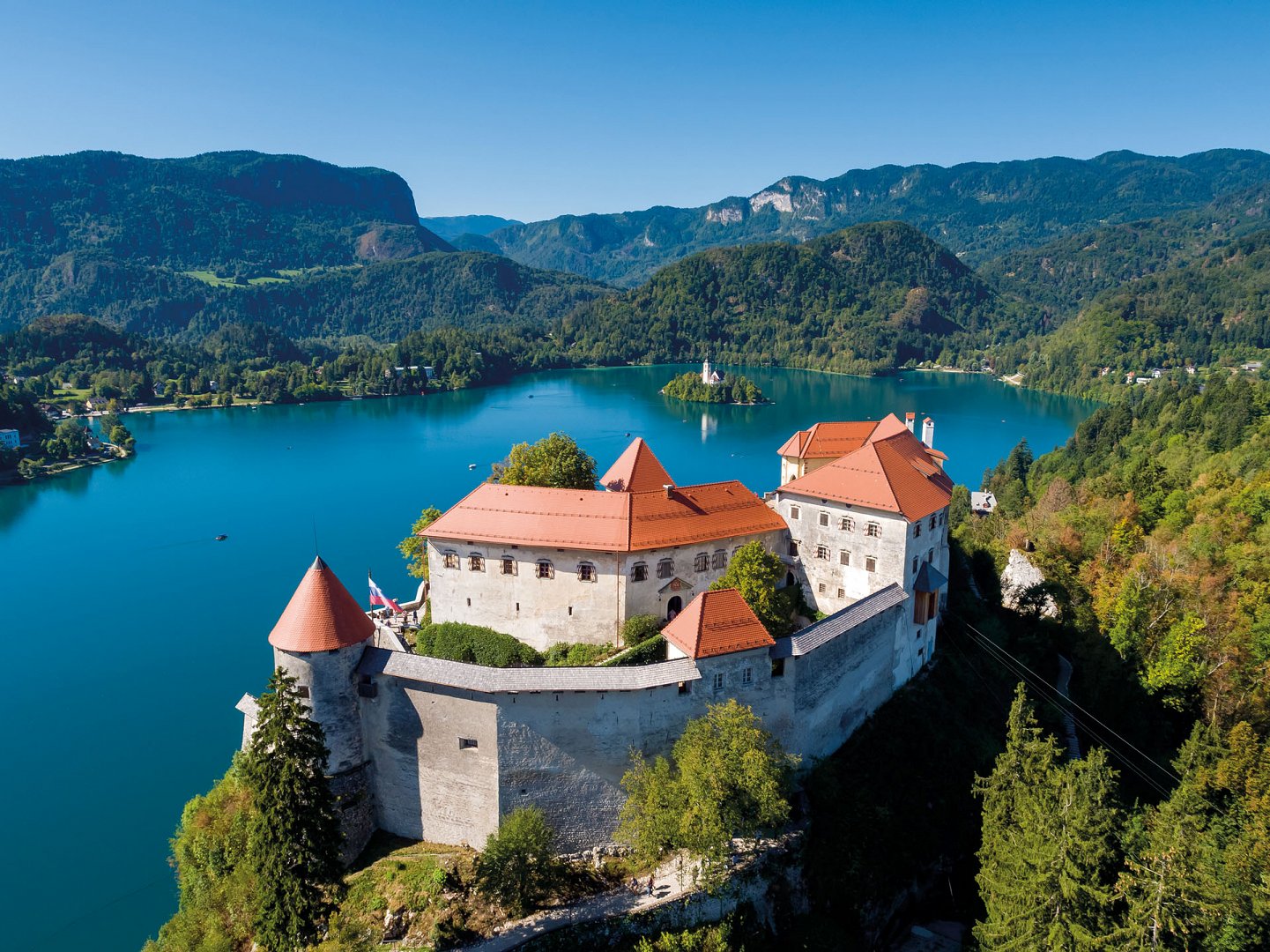
If arriving to the Airport Ljubljana, the recommended starting point is Bled, Stage 5. If arriving to Airports Venice (Marco Polo, Treviso) or Trieste (Ronchi), the recommended starting point is Tolmin, Stage 12.
The Juliana Trail is a trail for hikers, not for cyclists. However, the cyclists can look forward to a new bike trail around the Julian Alps, which will be available soon.
More about Juliana Bike at the link >
For more information you can contact the official Julian Alps Booking Center. They can prepare an individual programme including accommodation, luggage transfer and other services along the trail. The booking centre is available for more information on workdays on telephone number 00386 5 30 29 642 or 00386 5 30 29 643 and on the email .
During high tourist season, from June to September the accommodations are almost fully booked in advance and usually completely sold out for last minute booking during the season. We recommend booking in advance as soon as possible, the best opportunity for bookings being in spring.
The information about the accommodation can be found on the destination websites, where you can also make bookings:
Stages 16-2, Kranjska Gora
Stages 2-3, Jesenice
Stages 3-4, Radovljica
Stages 4-5 Bled
Stages 5-8, Bohinj
Stages 8-15, Soča Valley
Stages 15-16, Tarvisio
Accommodations are available at the end of every stage. In bigger tourist towns there is more offer to choose from, while in some smaller villages, there are limited possibilities.
The Booking Centre is part of the Julian Alps Community, which brings together all the municipalities in the Julian Alps, the tourist boards and Triglav National Park. The Julian Alps Community created the Julian Trail for hikers who wish to discover new places.
The official Julian Alps Booking Center offers the best information, gained by the local knowledge and management of the Julian Alps Biosphere Reserve.
Julian Alps Booking Center prepares individual offers, based on the hiker’s wishes. The basic offer includes accommodation at the end of every stage, daily luggage transfer and other services, e.g. transfer to the starting point, airport or train station.
For hikers who book a programme via Julian Alps Booking Center, a 10-hour emergency line is available 7 days of the week.
The price of the programme depends on various factors: date of hiking and season, number of persons in a group, types of services, types of rooms, accommodation category and available capacities.
The booking center can prepare a non-binding informative offer, according to your wishes. Please write to .
Hikers can find accommodation, food, and refreshment possibilities at the end of every stage.
Restaurants and groceries can be found at most of the stage ends, but not necessarily everywhere along the trail.
Grocery shops can be found on all stages, except at Goreljek na Pokljuki (Stage 5), Grahovo ob Bači (Stage 9) and Log pod Mangartom (Stage 14).
Restaurants are mostly located at the ends of the stages, but there is poorer choice in Podbrdo, Grahovo ob Bači, Most na Soči and Log pod Mangartom. The work hours may vary according to season (shorter work hours off season).
It’s a good idea to be prepared and have enough water and food (sandwiches or other snacks) with you on the trail.
Some simpler restaurants do not accept credit card, so make sure you also have some cash with you.
No, camping in Slovenia is only allowed in campsites. These can be found in some of the places along the trail, but not strictly at the end of every stage. There are a lot of accommodation options to choose from, so you should be able to find a perfect choice for yourself.
You can find information about accommodations on destination websites, where you can also make individual bookings:
Stages 16-2, Kranjska Gora
Stages 2-3, Jesenice
Stages 3-4, Radovljica
Stages 4-5, Bled
Stages 5-8, Bohinj
Stages 8-15, Soča Valley
Stages 15-16, Tarvisio
Stages 17-18, Soča Valley
Stages 19-20, Goriška Brda
Of course, you can walk the trail together with your loyal four-legged companion. Especially in the summertime, when the temperatures are high, please make sure you have enough water with you.
If you hike with your dog, please remember that it needs to be kept on a leash at all times. When you book accommodation, be careful that it is dog friendly. Some places have a limited number of accommodations that accept pets.
Since food dog can get very heavy to carry, it is a good idea to book the luggage transfer service.
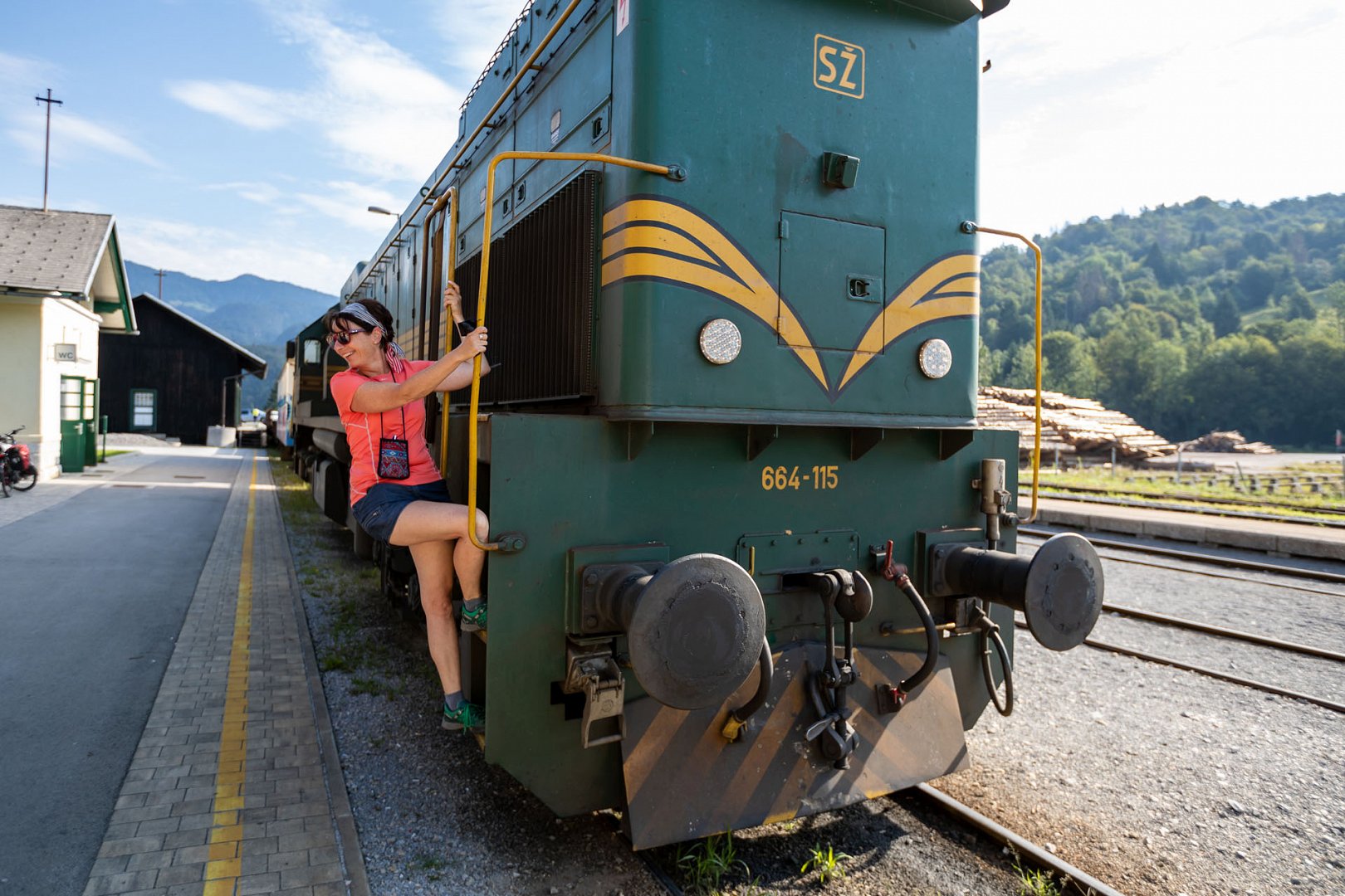
The Julian Alps Community strives to improve the public transport services in the area and encourages the visitors to use the regular bus lines, free summer shuttles and trains. Slovenian Railways trains will get you to the starting points in Jesenice, Bled, Bohinjska Bistrica, Podbrdo, Grahovo ob Bači and Most na Soči. Timetables and information are available on Slovenian Railways website.
For stages between Kranjska Gora and Bohinjska Bistrica you can use the Arriva bus services.
For stages between Bohinjska Bistrica and Most na Soči, you can ride Slovenian Railways trains.
For stages between Most na Soči and Bovec you can use the Nomago bus services.
In summer months some additional free shuttles are available in individual Julian Alps destinations. You can use these to return to the starting point or skip a difficult stage.
It is recommended that you inform yourself about the public transport possibilities beforehand in one of the tourist information centers, especially out of the main summer season.
You can hike as much of Juliana Trail as you like. You can walk only one stage, a part of one stage or – if you are fit enough - you can walk the whole Juliana Trail.
Julian Alps Booking Center can create a special Juliana Trail programme according to your wishes. For more information the booking centre is available on workdays on telephone numbers 00386 5 30 29 642 or 00386 5 30 29 643 and on the email .
Juliana Trail is not technically demanding, but it is nonetheless a long-distance trail, requiring good physical fitness. Since some of the stages are more than 20 km long and require 5 to 6 hours of walking, the trail is not really meant for small children.
For families the booking centre offers a special programme, Family Juliana Trail, which covers some of the simpler stages of the trail. Families with children up to 14 years of age should be able to hike a single less demanding stage or part of one stage.
A small pocket-size booklet is available, including a small map, basic data on individual stages, the list of main attractions on the way, contacts of local tourist information centres and a special page for collecting stamps along the trail.
Printed guidebooks are available in all tourist information centres in the Julian Alps and by post at the Julian Alps Booking Center (shipping to EU).
Hikers can also use a free mobile app Juliana Trail:
The best time to hike Juliana Trail is from end of March to end of October. Because of high temperatures in the summertime, it’s certainly more pleasant to hike the trail in spring or autumn. Part of the trail runs on lower altitude and when there is no snow, these stages are accessible all year round. Some caution is necessary in the winter, due to lower temperatures.
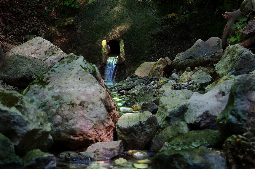
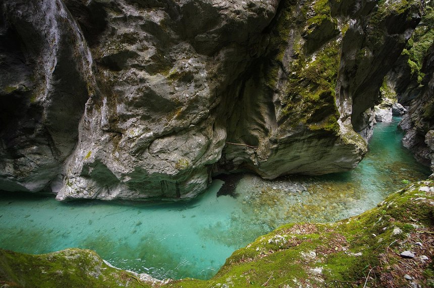
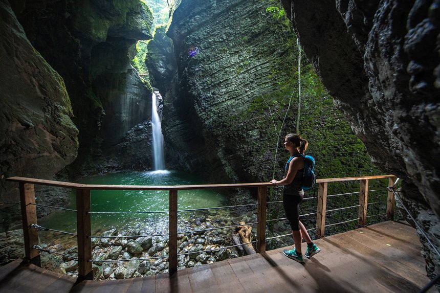
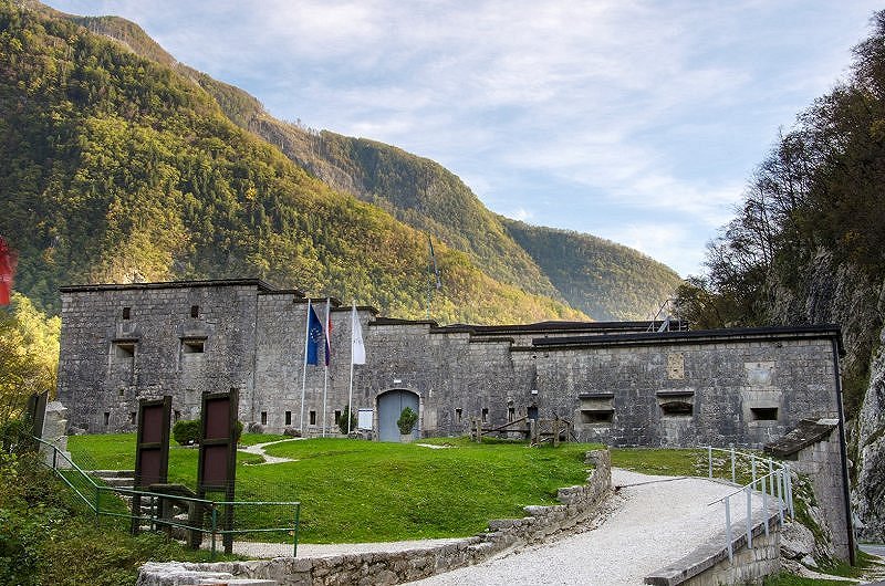
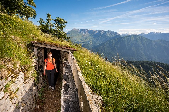
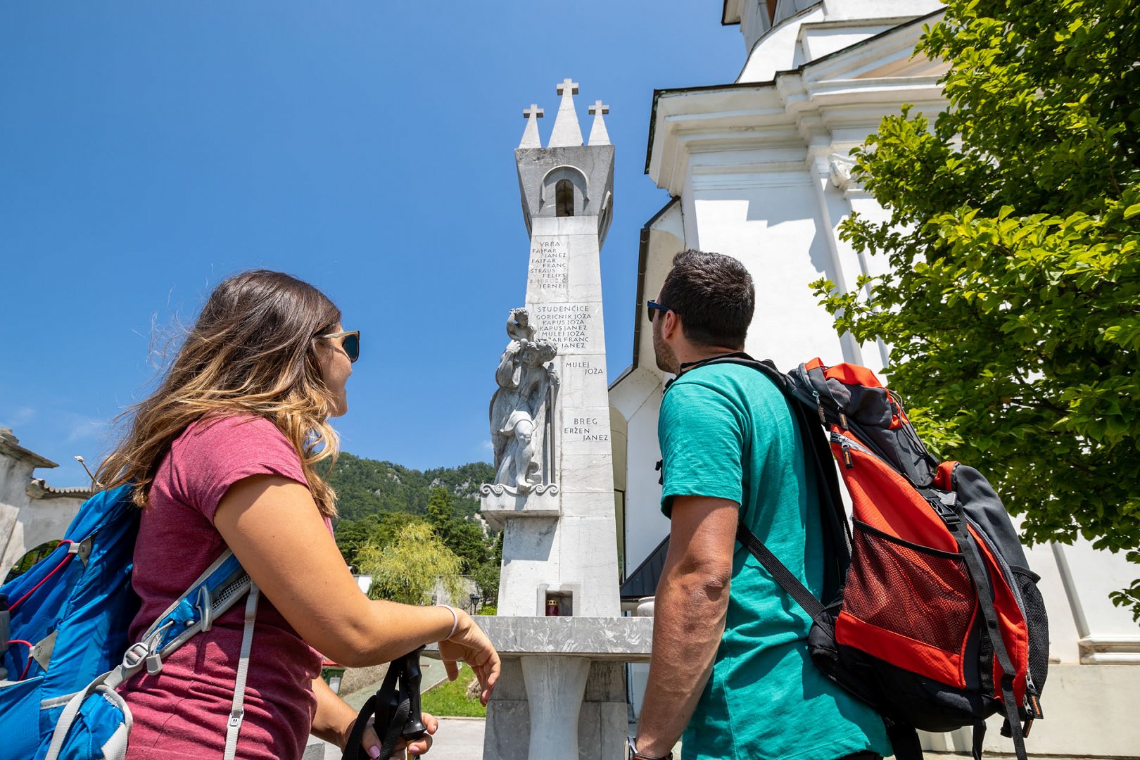
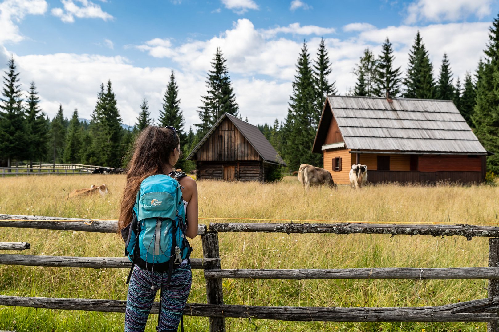
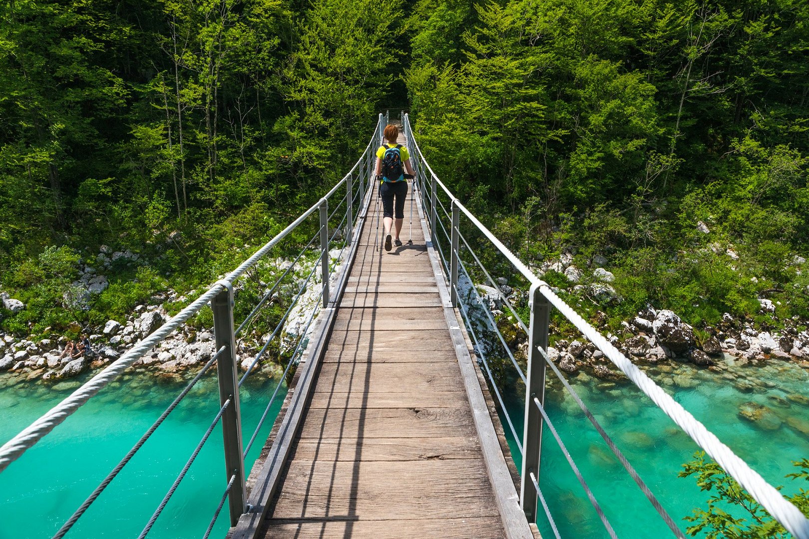
A long-distance hiking trail takes you around the Julian Alps, through villages and small towns, following the already existing hiking trails. The hiker does not conquer any mountain peaks, but instead has time to discover a number of less known attractions along the trail. Every stage start-end point offers at least one option for accommodation, food and refreshment and most of the stages are accessible by public transport. Moving away from the most popular tourist choices brings an extra charm and a new experience, since not everything is within reach.
The main circle is 270 km long and divided into 16 stages, with the official end point in Kranjska Gora. Additional 4 stages take you to the wine region of Goriška Brda, going from Tolmin to Solkan.
The trail is marked with signposts and special markings in both directions.
Before starting the trail, you can study the maps and descriptions of individual stages on the website. Maps can be downloaded to your smart phone and for smart sports equipment the GPX coordinates are available. Hikers can also use a free mobile app Juliana Trail:
There are several specialized hiking programmes available:
Family Juliana Trail
Through the Landscape of Lakes and Tradition
Hike Through the Emerald Valley
The Best of the Best on Juliana Trail
Round and Round Julian Alps.
These programmes can be adapted according to your wishes, or a special programme can be created. For more information contact Julian Alps Booking Center.
If you hike for several days, we recommend some extra rest days (regardless of your physical fitness), so you can visit any of the numerous natural and cultural attractions in the Julian Alps.
Mountain huts are mostly located on higher altitudes and away from the trail.
Juliana Trail does not conquer any mountain peaks in the Julian Alps, but rather takes you around them. The trail leads the hiker through small villages and some bigger towns. At some places you can find hotels and guesthouses, while at others only apartments and simpler rooms.


